GIS strategic support for Humanity and Inclusion
About
Description
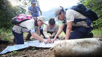
CartONG assisted Humanity & Inclusion (HI) with a GIS assessment and initial support for the launch of their GIS strategy. The assessment consisted of interviews with key stakeholders to identify their uses, practices, expectations and difficulties with geospatial data and geoproducts. CartONG also reviewed the GIS-related documentation and tools used by headquarters and field operations. The result of the assessment was a report that provided an overview of the situation, recommendations and possible scenarios for a GIS strategy. These recommendations were discussed with the HI team to help them consider their options based on financial, technical and human resource constraints and the opportunities that increased use of geospatial data and geoproducts would bring.
In 2020, CartONG continued the collaboration by developing an internal dashboard to support HI operations during the Covid-19 crisis. This Dashboard compiled key pandemic figures and information on the HI operations’ status & vulnerabilities related to the pandemic. CartONG also intervened in internal seminars with HI field teams on GIS and data protection. The following year, CartONG focused on training the HI team, organizing two mapping-based training sessions for around 30 participants and conducting an introductory workshop on GIS for Humanity & Inclusion’s English-speaking countries of operation.
