Web application to inventory basic infrastructure in UNHCR sites
About
Description
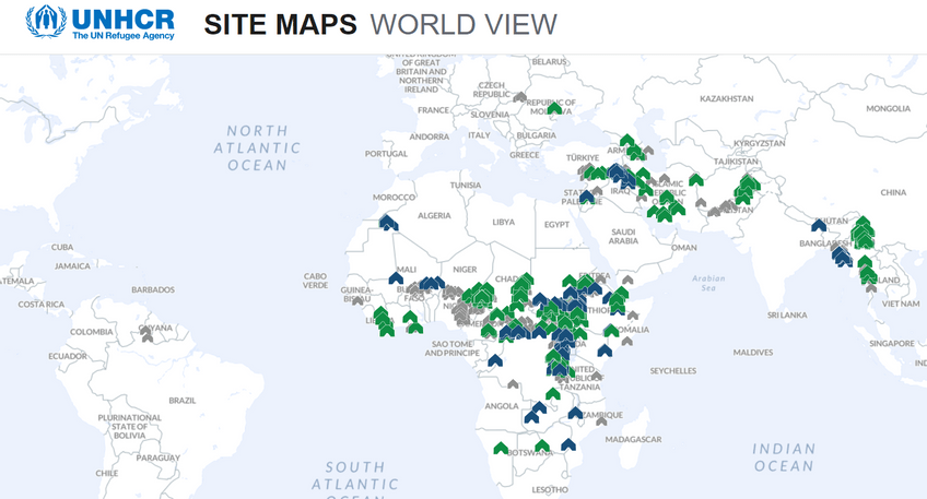
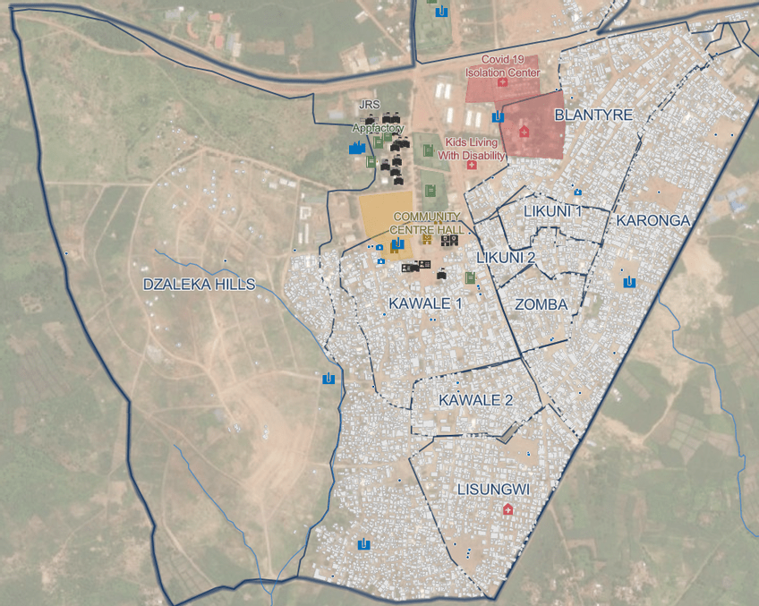
CartONG developed, implemented, and keeps up-to-date for UNHCR the Site Mapping application. This is a web application that manages geolocated information and data in UNHCR sites worldwide. It is a digital inventory of all basic infrastructures available in a site or settlement (refugees or internally displaced people). Its purpose is to provide decision-makers with timely access to geospatial information.
The data model behind the Site Mapping application is based on a comprehensive and standardized framework developed through a collaborative consultation process with sector specialists. It aims to provide a structured representation of various critical domains within UNHCR sites worldwide. This model incorporates essential layers, such as administrative and security, education, health, social facilities, sanitation, waste management, shelters, water systems, transport, land use, and places of worship.

Designed to be adaptable, the data model can be slightly modified to align with specific local needs, ensuring flexibility and relevance in diverse operational contexts. The primary goal is to offer decision-makers and stakeholders a consistent and detailed geospatial dataset that facilitates effective monitoring, management, and response activities within targeted UNHCR sites.
Before the data becomes available in this application, several steps are necessary.
- A UNHCR country operation contacts UNHCR’s GIS Support Unit to express its interest in mapping a site.
- Work starts by preparing the data model and database, if found useful organizing mapathons, requesting high resolution satellite imagery to be used as a basemap during the data collection and setting up the mobile devices.
- The country operation prepares the logistics for the upcoming mobile data collection campaign.
- The data collection starts with the training of the enumerators, which is followed by the mobile data collection campaign.
- Once the data collection exercise is completed, maps and dashboards are produced to ease the analysis. The data is synced to the centralized database, making it accessible from the Site Mapping application for standard analysis.
- Remote support continues for data updates and the production of more advanced analytical products.

Beyond the development and implementation of the application, throughout the years, CartONG has supported the project in different ways. Continuous improvements to the back and front office of the application to make it more and more user-friendly, include additional features, improve analysis options, ensure integration and interoperability with different data sources, and respond to specific needs from UNHCR operations. When relevant, CartONG and its volunteers also contribute to the data collection to help map settlements around the world through the organization of Mapathons. When needed, CartONG also trained UNHCR staff on the use of the application and also maintained up-to-date the necessary guidelines and documentation.
Since 2024, CartONG only maintains the application and provides support to country teams, including training when necessary, but the other elements of the projects, including data collection, has been handed over to the UNHCR.